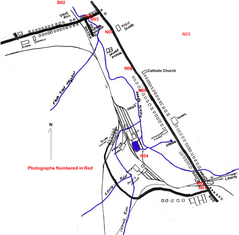
Norwich and Betula Photos / AMap_Betula_Norwich_1910
This map shows buildings as they were located in the Norwich and Betula areas in 1910. Photograph location labels are shown in red.