|
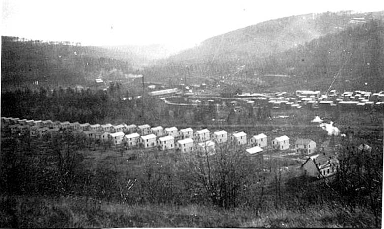
This photograph is taken from a loging road (N41° 40.083'
W78° 22.214') looking 216 degrees. The Catholic Church located on Route 46 is visible on the lower right of the photo. Only a few original houses along Route 46 remain. The smoke stack of the mi
|
|


